

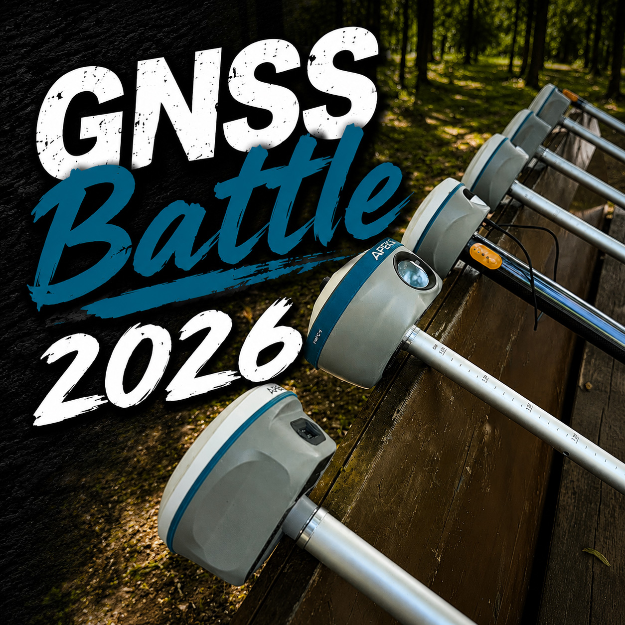
How to choose a GNSS device? The ultimate guide to precise positioning
With the increasing popularity of global navigation satellite system (GNSS) technology today, high-precision positioning has become a key requirement in surveying and mapping, agriculture, drones, autonomous driving, disaster monitoring, etc.
However, how to choose the most suitable solution for oneself in the face of numerous Gnss Equipment on the market?
This guide will help you make wise choices from the application scenarios, accuracy requirements, budget, technical parameters and other dimensions!
1. Clear the requirements: What is your application scenario? The requirements for GNSS vary widely in different industries. Determine your main uses first:
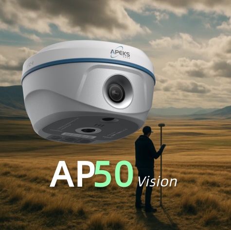
Surveying and engineering surveying (such as topographic surveying, construction layout)
- Requirements: centimeter-level precision, RTK / PPK technology, strong durability.
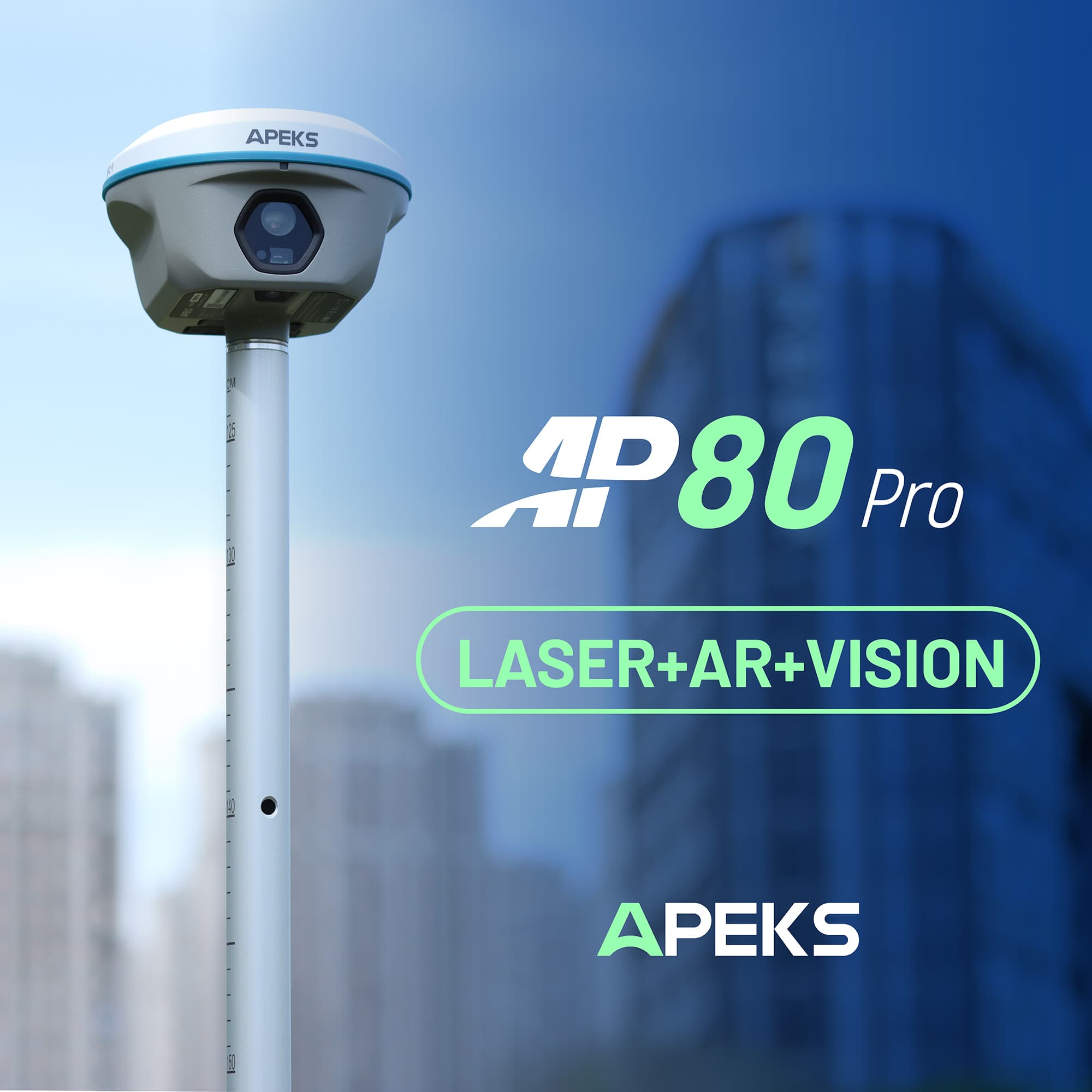
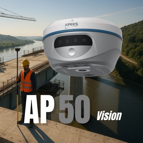
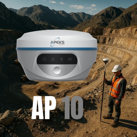
- Recommended: Professional Rtk Receiver
Precision agriculture (such as automatic driving of agricultural machinery, variable fertilization)
- Requirements: submeter level to centimeter level, support for autonomous driving interface (such as ISOBUS).
-Recommended: Agricultural Gnss Receiver
UAV and aerial survey (e. g. tilt photography, 3 D modeling)
- Requirements: PPK/RTK positioning, lightweight, high update rate.
- Recommended: Mapping drones
Vehicle-mounted navigation and logistics management
- Demand: meter level to submeter level, low cost, high stability.
- Recommended: Dual-frequency Gnss Module
Consumer applications (such as outdoor sports, mobile phone navigation)
- Requirements: basic positioning, low power consumption.
- Recommended: support multi-frequency GNSS smartphones
2. Accuracy requirements: How much positioning accuracy do you need?
The accuracy of GNSS equipment ranges from meter level to millimeter level, and choosing the right level can save costs:
Accuracy level, typical technology, and applicable scenarios
Meter level: single point positioning (GNSS) vehicle navigation, mobile phone positioning
Submeter class: SBAS (such as WAAS) logistics tracking, UAV flight point flight
Centimeter level: RTK/PPK, surveying and mapping, precision agriculture, construction survey
Millimeter level: static post-processing, dam monitoring, geological disaster warning
3. Key parameters: How to evaluate the GNSS equipment? When selecting GNSS equipment, focus on the following technical indicators:
Satellite system support (the more, the better):
- GPS (USA), Beidou (China), GLONASS (Russia), Galileo (EU), QZSS (Japan), IRNSS (India), SBAS (e. g. WAAS, EGNOS)
-Multi-system compatibility improves signal stability, especially in complex environments (such as urban canyons).
Positioning technology:
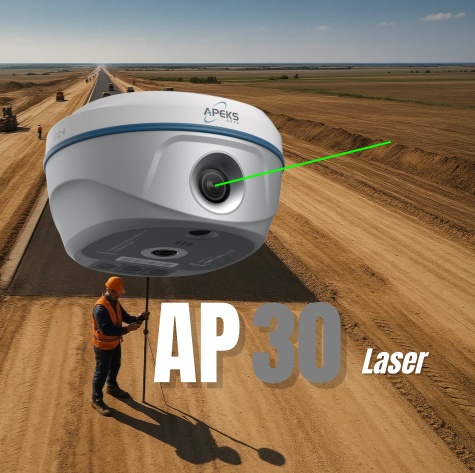
RTK (real-time dynamic positioning): need the reference station or CORS network, centimeter-level real-time positioning.
PPK (post-processing dynamic positioning): suitable for uav aerial survey, without real-time data link.
PPP (precision single point positioning): suitable for remote areas without reference station, but the convergence time is longer.
Frequency and signal:
Single frequency (L1): low cost, suitable for ordinary navigation (accuracy of 1-5 meters).
Dual frequency (L1+L5): Stronger resistance to multi-path interference, suitable for high-precision applications (sub-meter to centimeter).
Data link:
Network RTK (4G / Ntrip): rely on CORS or self-built server, wide coverage.
Radio mode (UHF): suitable for no network environment, but with limited distance (usually <20km).
Environmental suitability:
IP grade (such as IP67 dust and waterproof), anti-interference ability (such as military grade anti-deception).
Choose the appropriate GNSS equipment, the key lies in clear requirements + matching accuracy + reasonable budget. Whether surveying and mapping experts, agricultural practitioners, or technology enthusiasts, accurate positioning can bring a qualitative leap for your work!
Act now to find your ideal GNSS solution!
If you need a specific model comparison or configuration scheme, welcome to leave a message for consultation!